
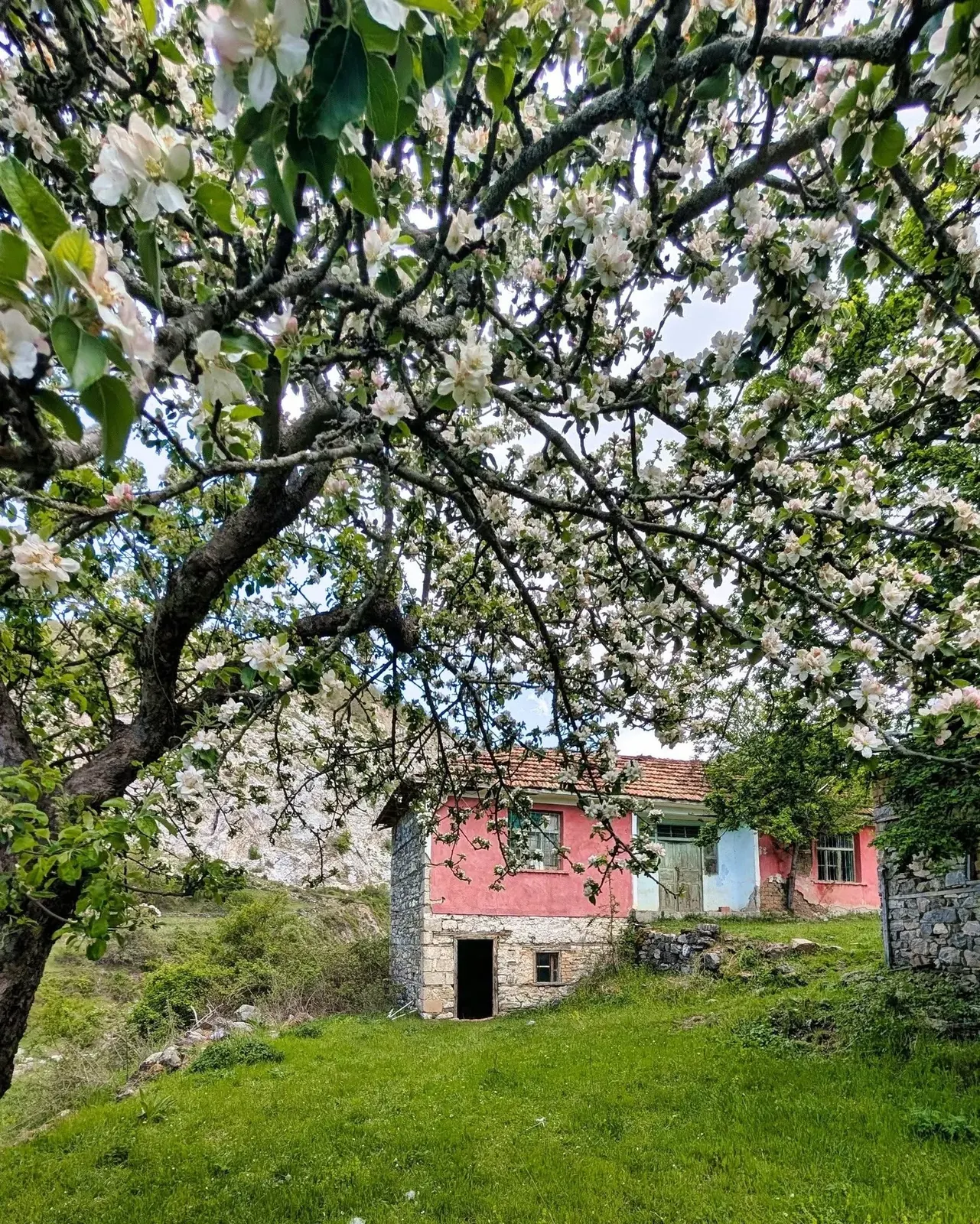
Rural architecture
Bahutë and the Old Houses
Bahutë preserves examples of traditional rural architecture built in wood and stone, offering a glimpse into the historic way of life in Dibër.
Search by name, category or difficulty and open the complete guide for each destination.
Bahutë preserves examples of traditional rural architecture built in wood and stone, offering a glimpse into the historic way of life in Dibër.
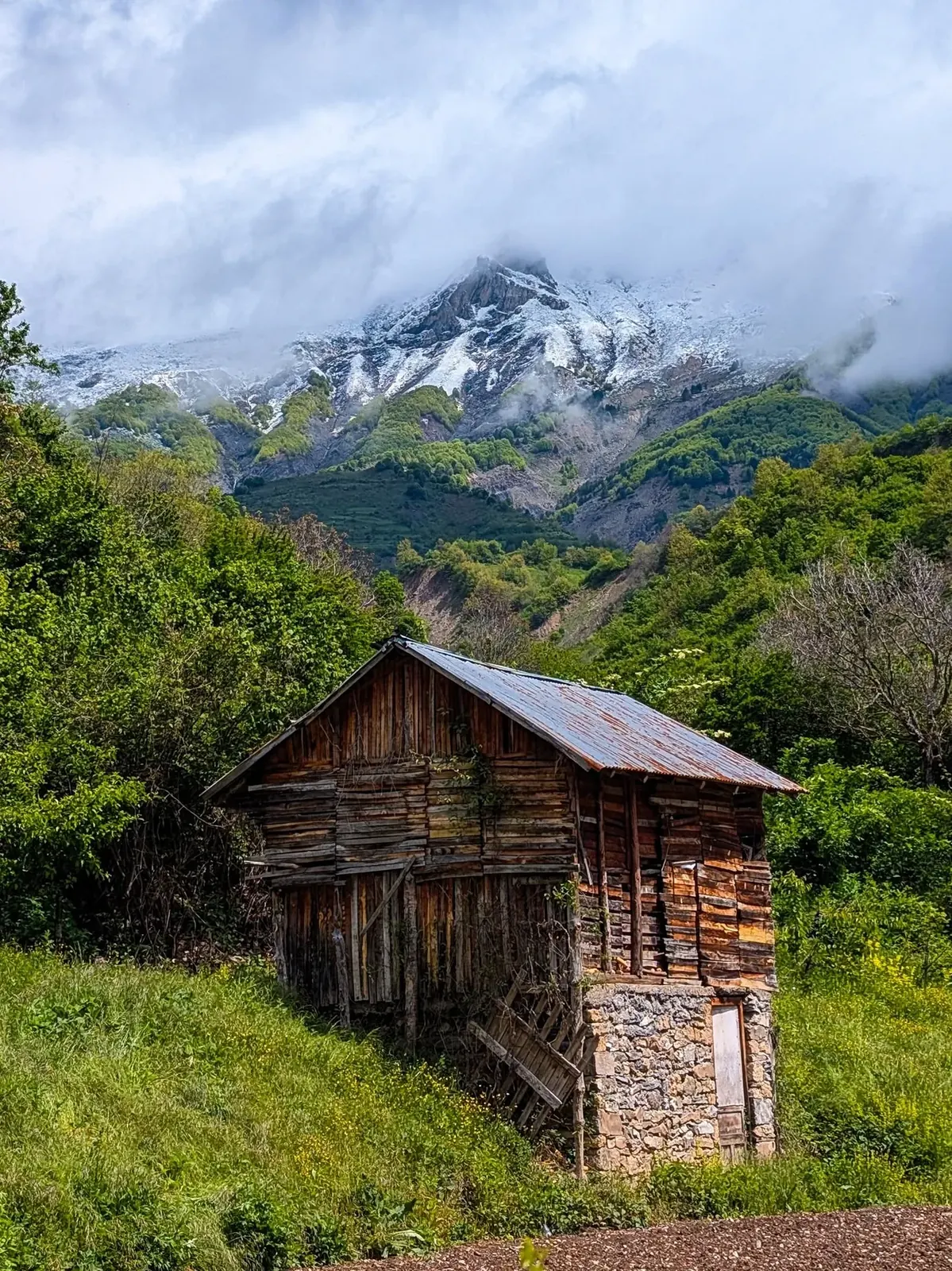
A peaceful rural destination where mountain scenery, village houses and an old traditional mill preserve the atmosphere of an earlier way of life.
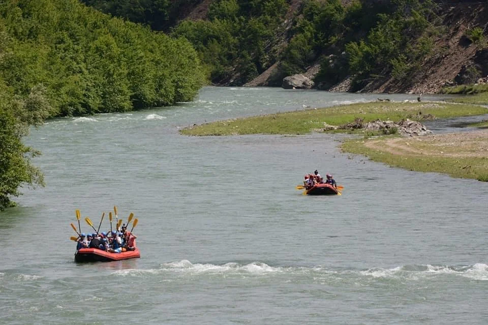
The main river corridor of the Dibër valley, with broad landscapes, bridges, villages and professionally organised water activities.
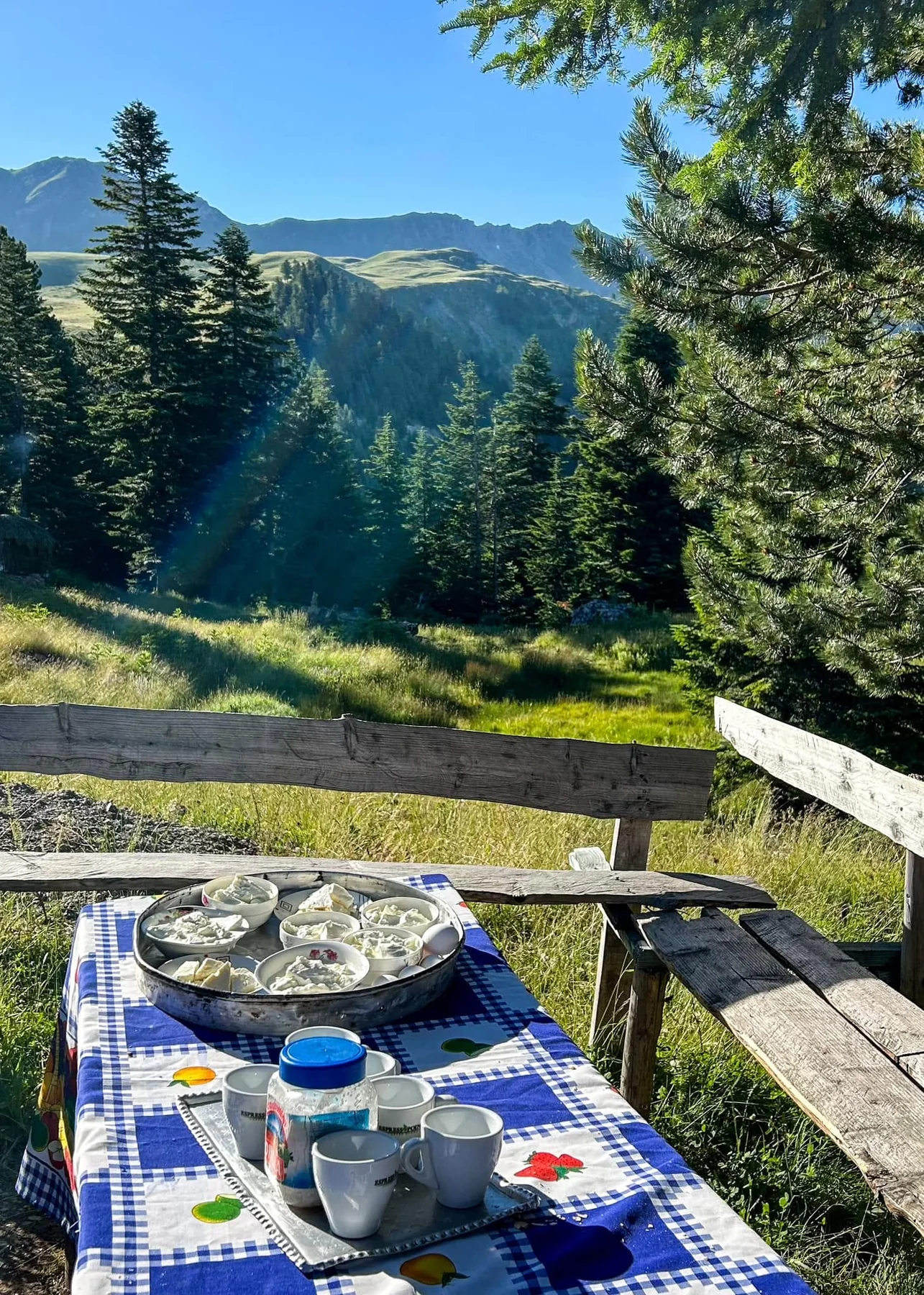
A mountain area known for summer pastures, springs, gypsum formations and its relative proximity to Peshkopi.
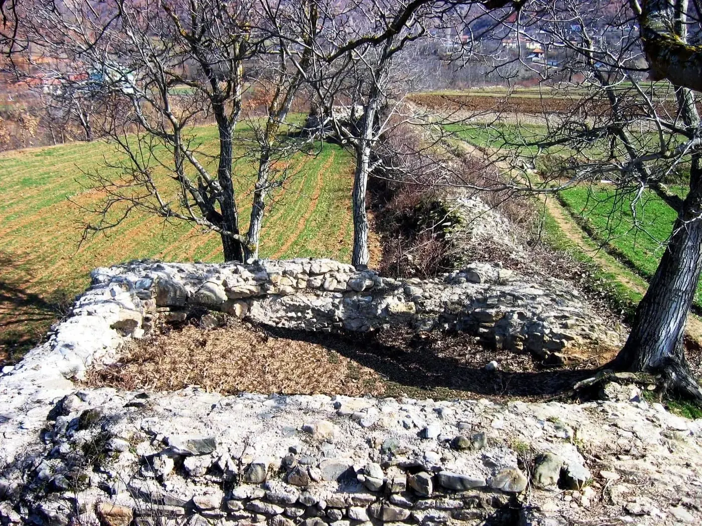
A Late Antique fortification and the largest visible archaeological monument in Dibër.
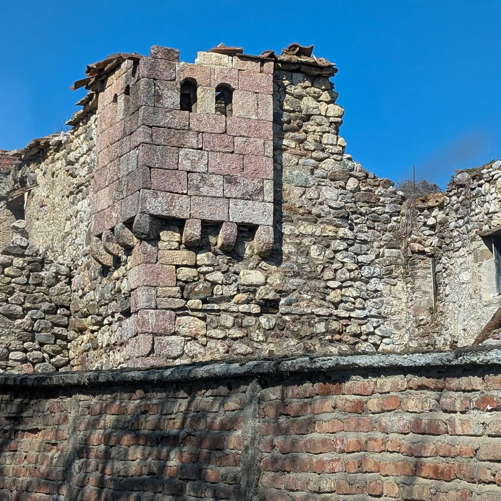
A karst cave approximately 400 metres long, located at around 500 metres above sea level.
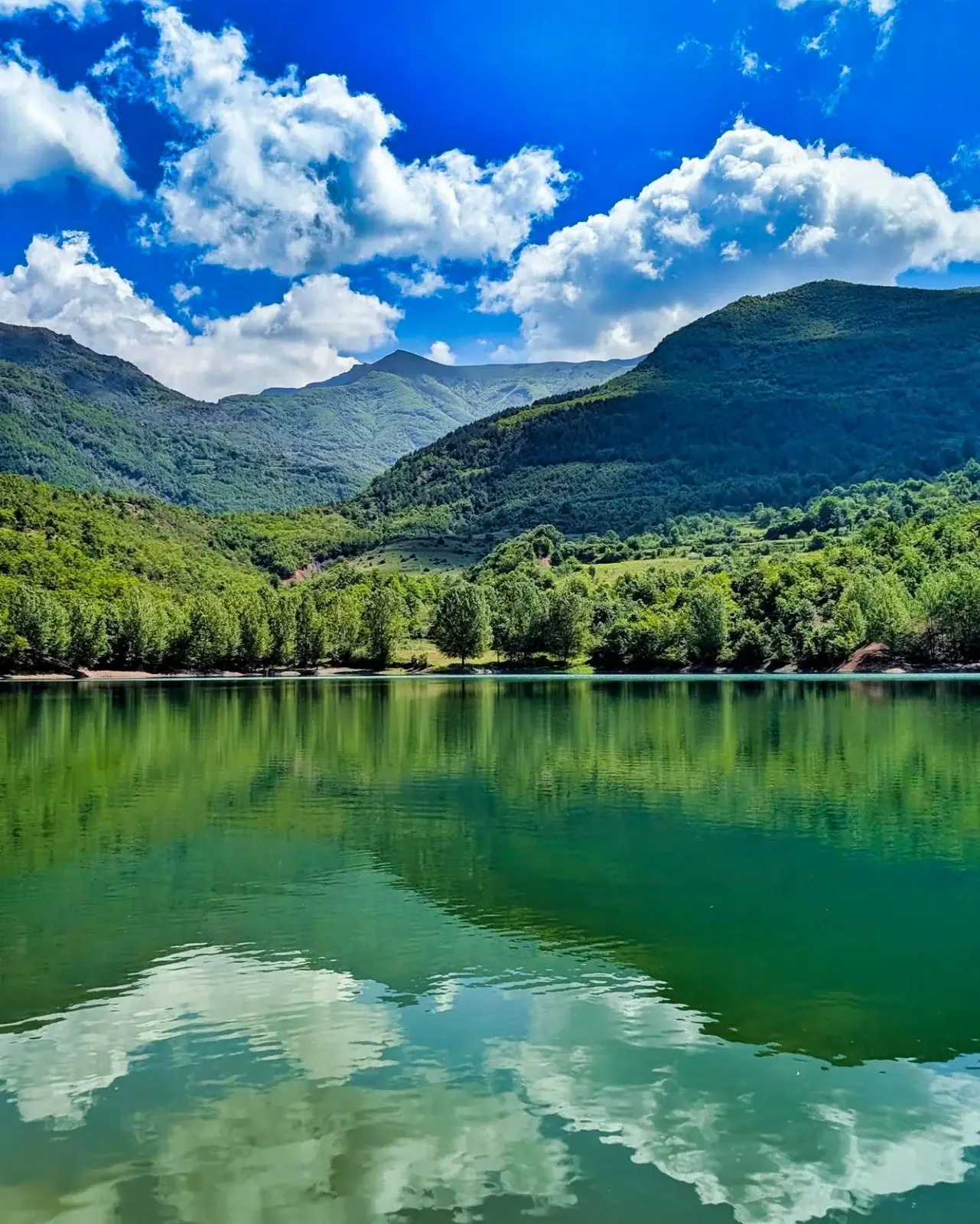
Glacial lakes above 1,700 metres on the eastern side of Mount Balgjaj.
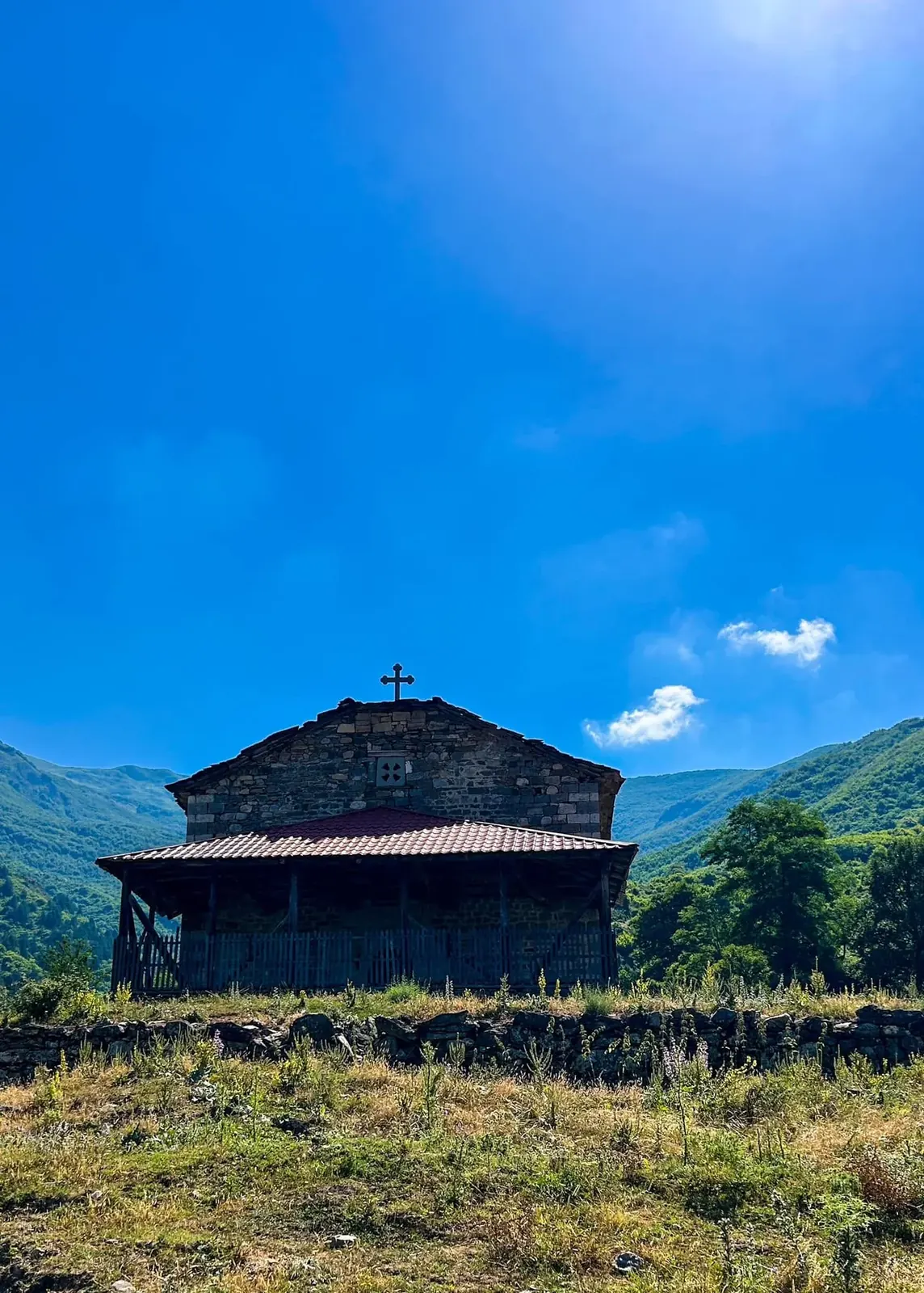
A distinctive cultural landscape of churches, stone houses and lanes reflecting the layered history of the area.
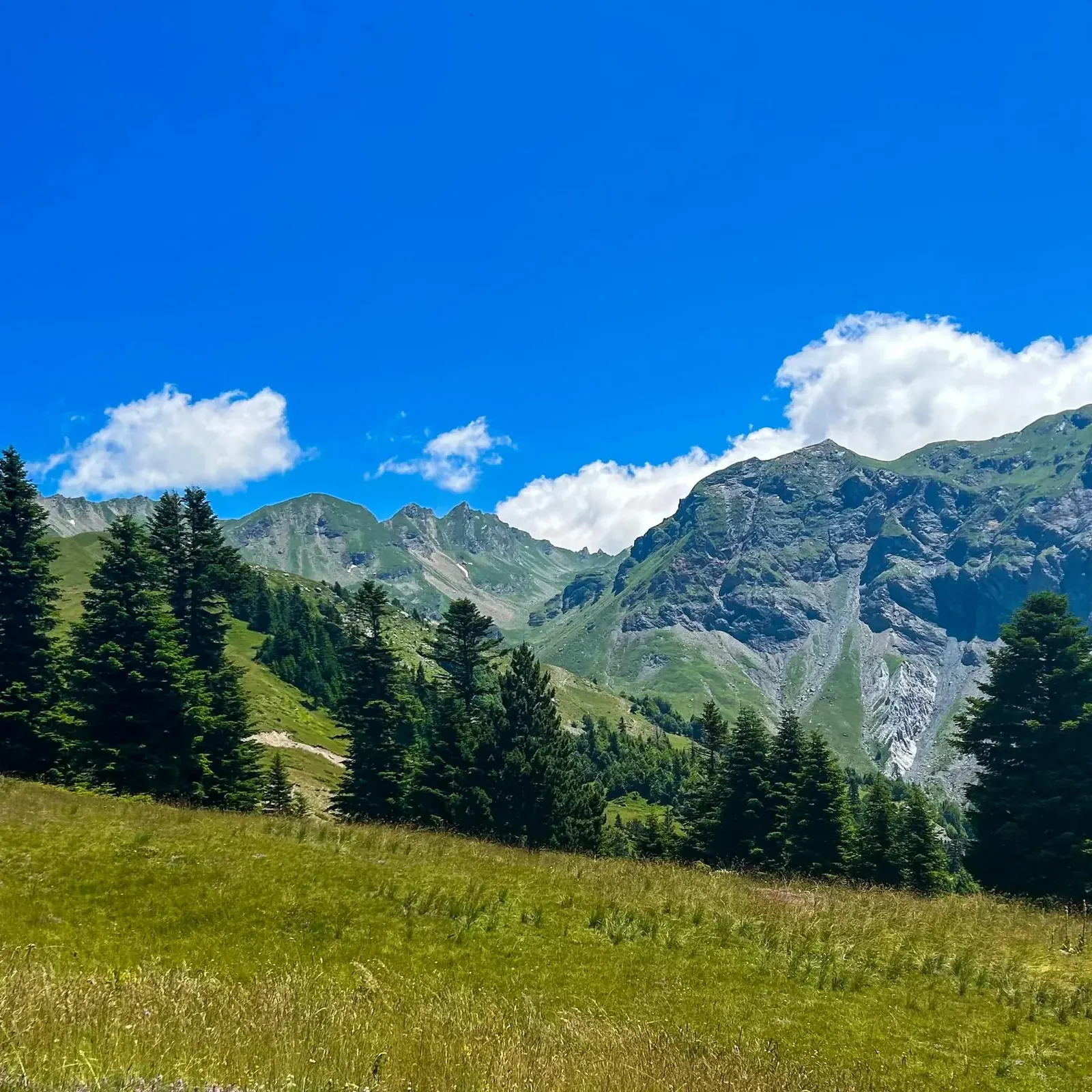
A vast protected landscape of mountains, forests, pastures, villages and rich biodiversity.
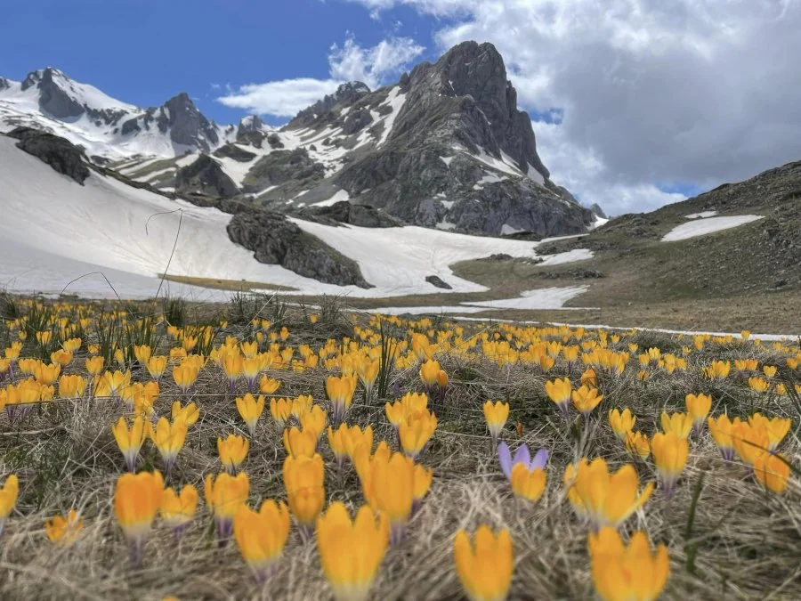
Albania’s highest peak at 2,764 metres and the alpine symbol of Dibër.
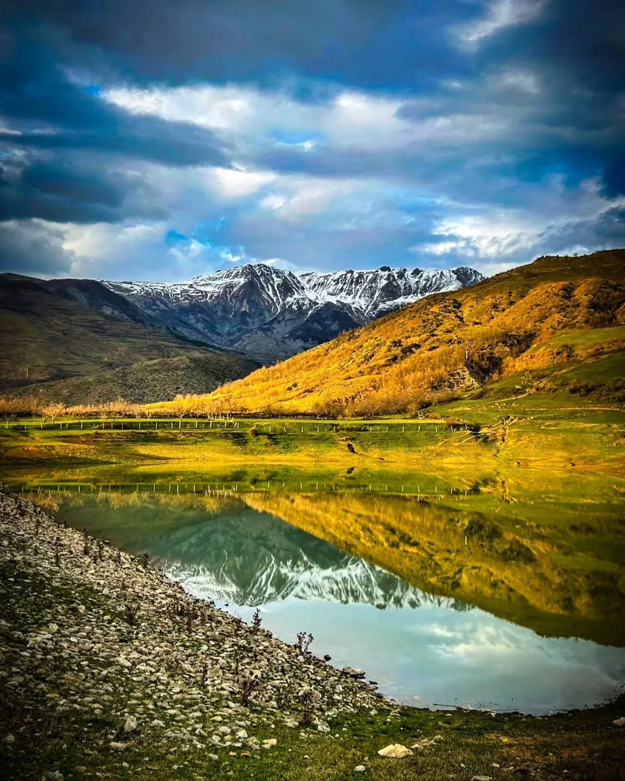
A green lakeside setting near Peshkopi, suitable for a short nature break, photography and relaxation.
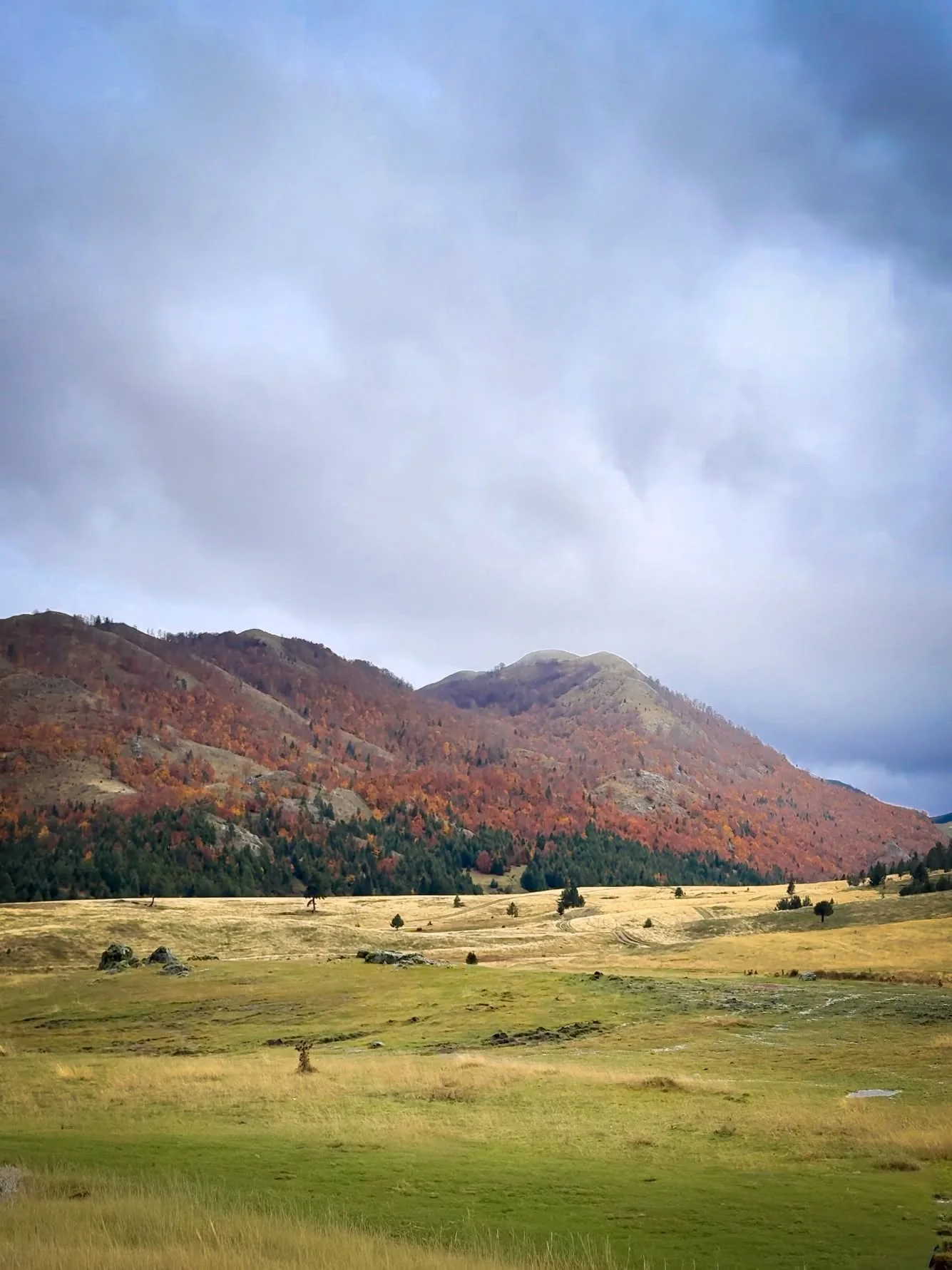
A glacial lake at about 1,600 metres, famous for white water lilies that bloom in early summer.
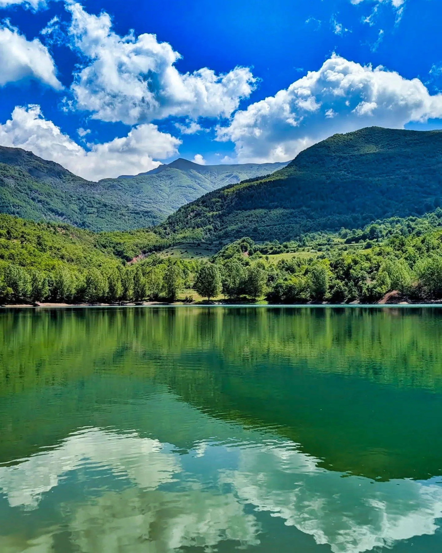
A quiet lake surrounded by greenery and mountains, ideal for photography, careful picnics and a peaceful nature stop.
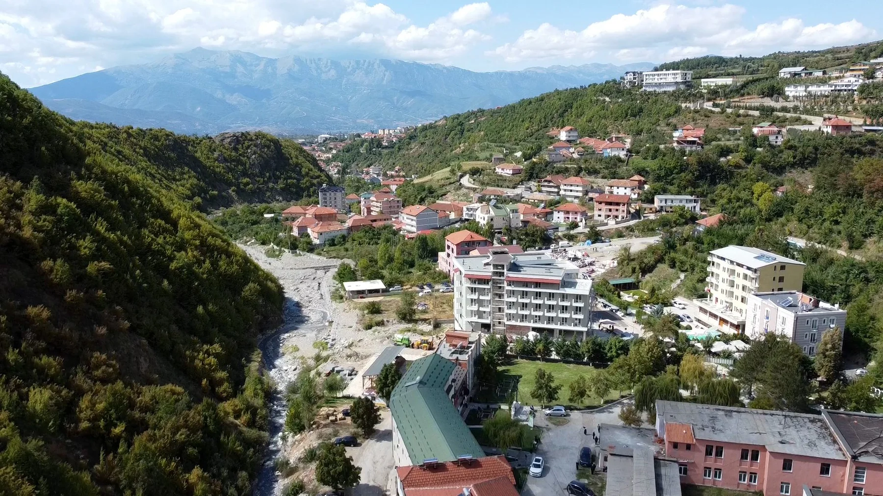
Thermal-mineral springs about 1.5 kilometres east of Peshkopi, with reported water temperatures of roughly 35–43.5°C.
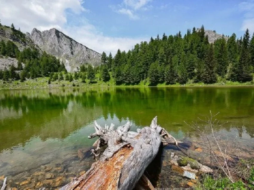
A mountain region renowned for glacial lakes, forests, traditional tower houses and tranquil landscapes.
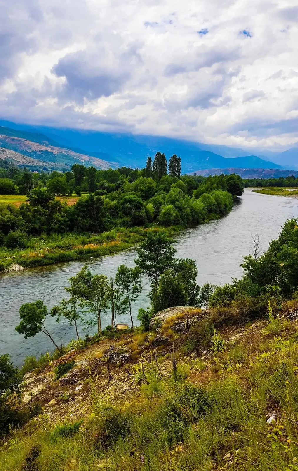
An open valley landscape with river views, greenery, hills and traces of historic rural architecture.
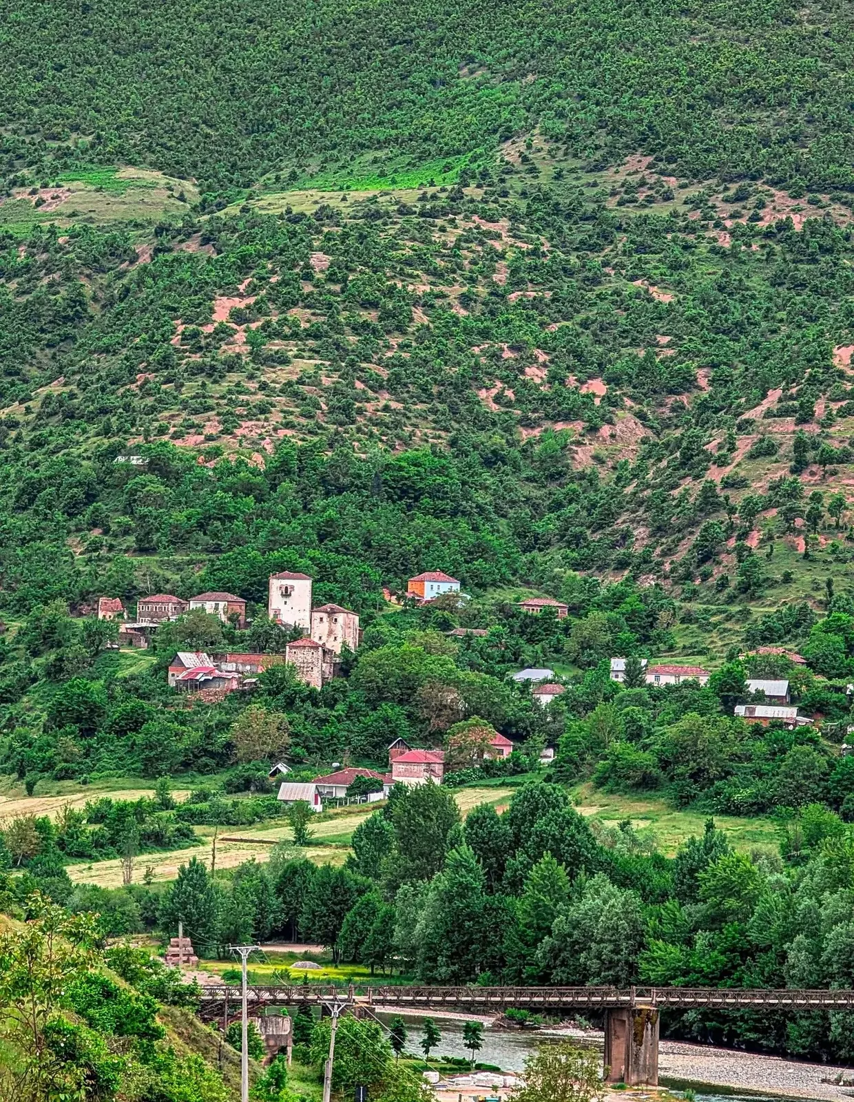
A village overlooking the Black Drin valley, with river scenery, bridges, rural houses and surrounding slopes.
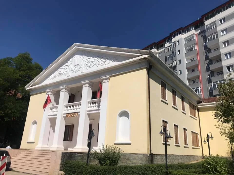
A journey through the history, archaeology and ethnography of the wider Dibër region.
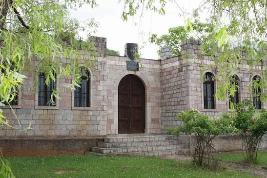
A museum devoted to the Kastrioti family and its historic links with Dibër.
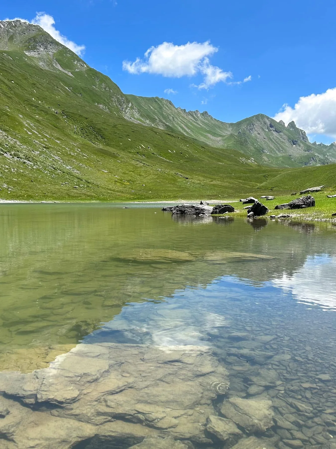
A large gypsum formation with selenite crystals that reflect light at roughly 1,900 metres above sea level.
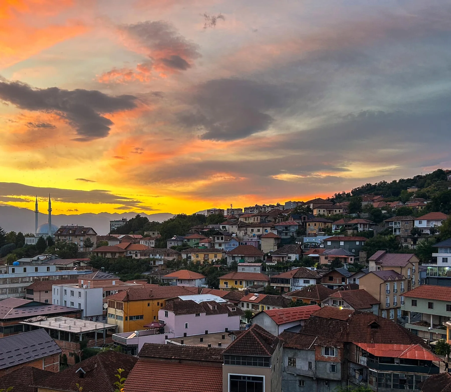
The urban centre of Dibër and the most practical base for exploring thermal springs, villages, Korab, the Black Drin and local heritage.
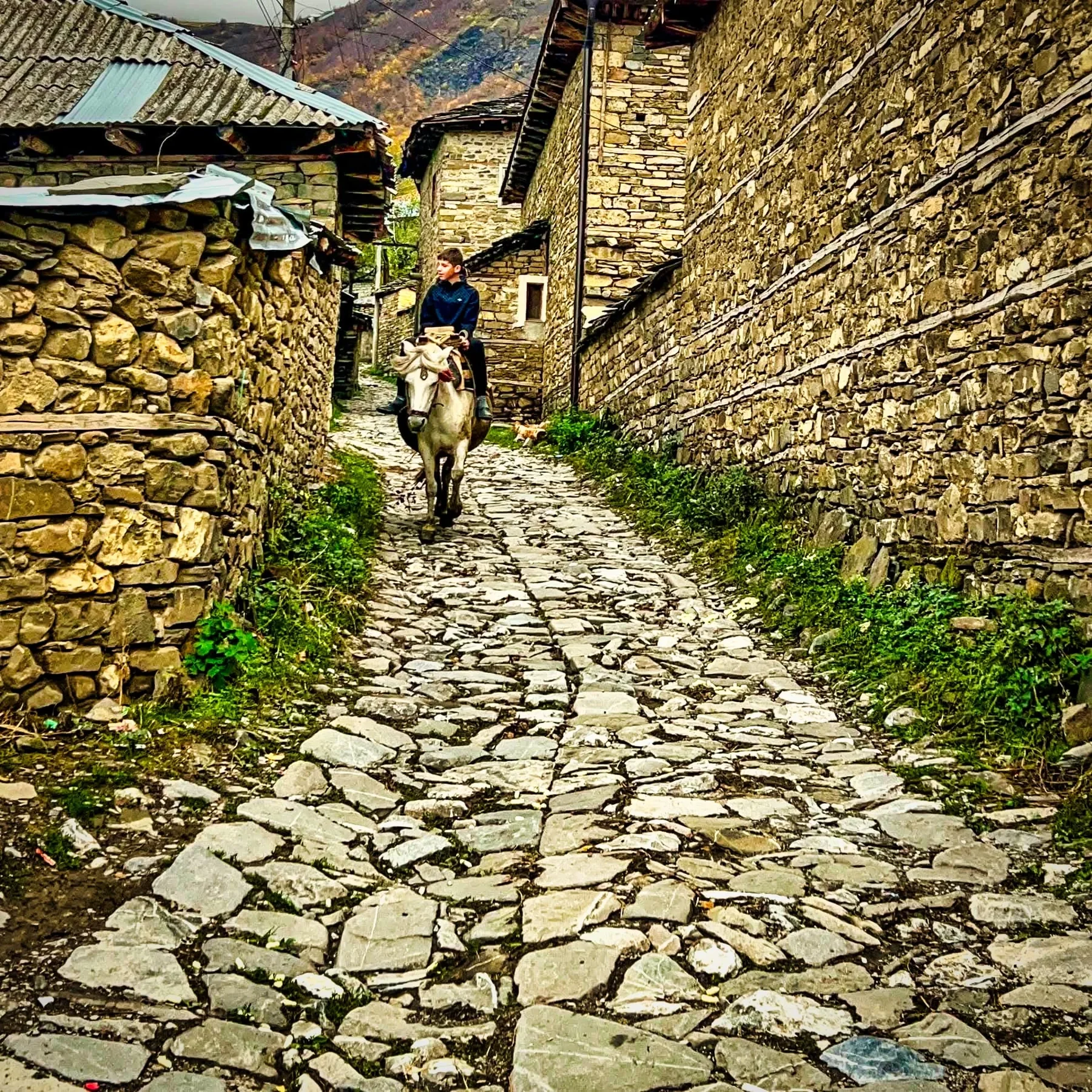
The “stone village” of traditional houses, paved lanes, large gateways and family guesthouses.
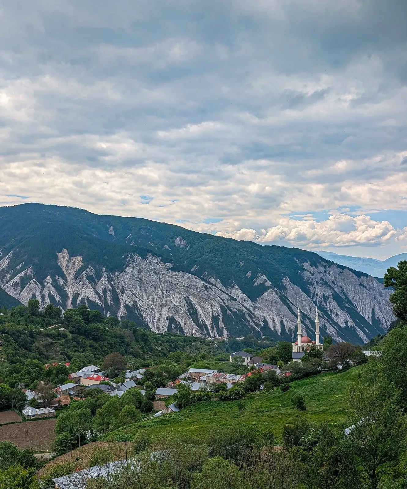
One of the best-known gateways to the Korab massif, combining mountain scenery, rural life and trails toward the alpine zone.
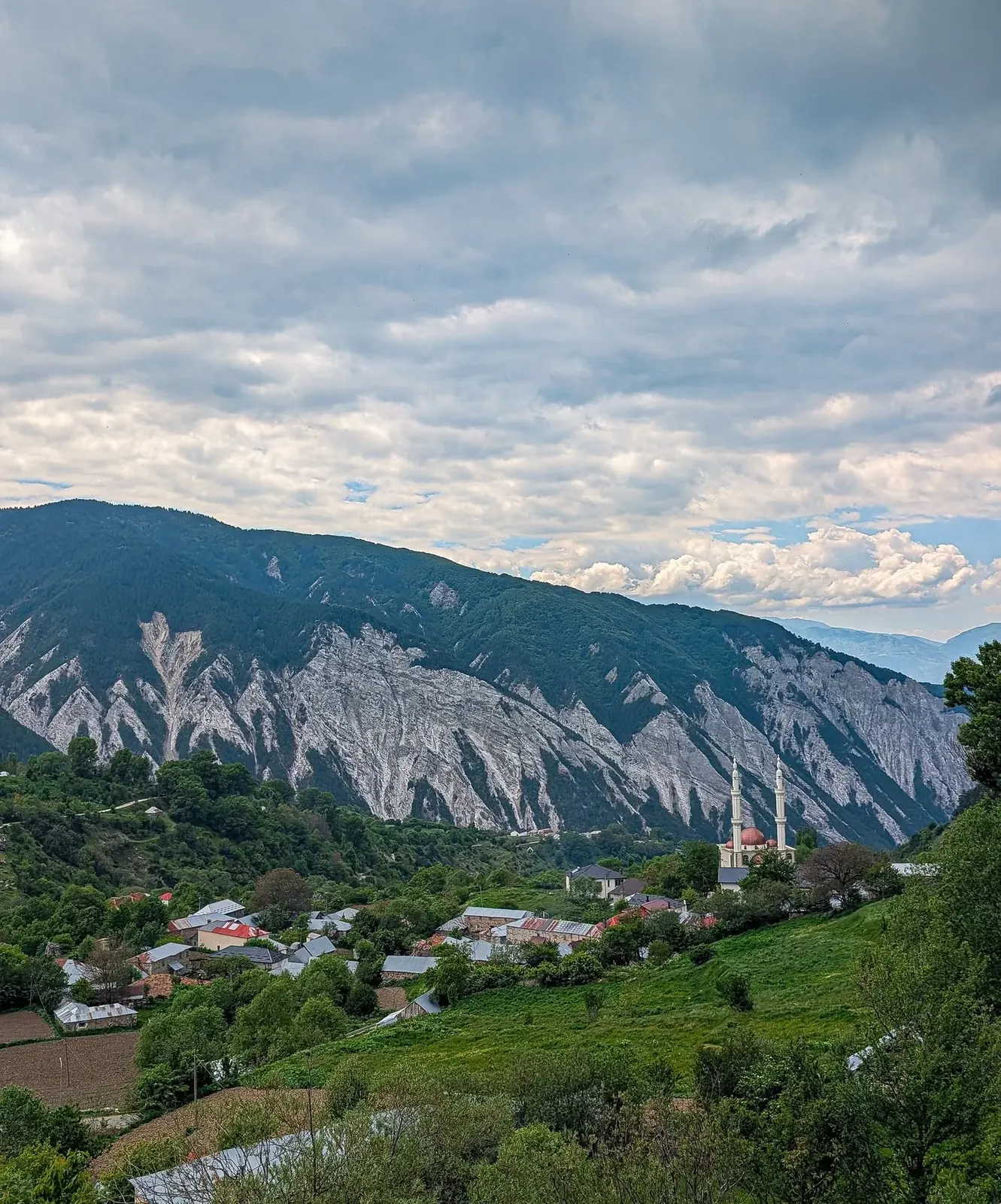
A large glacial cirque at around 1,900 metres, shaped like an amphitheatre and covered by alpine pasture.
A karst cave at around 1,000 metres, with approximately 50 metres explored and numerous mineral formations.
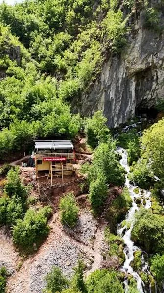
A lesser-known natural stop where flowing water, rock and a karst cavity form a distinctive landscape.
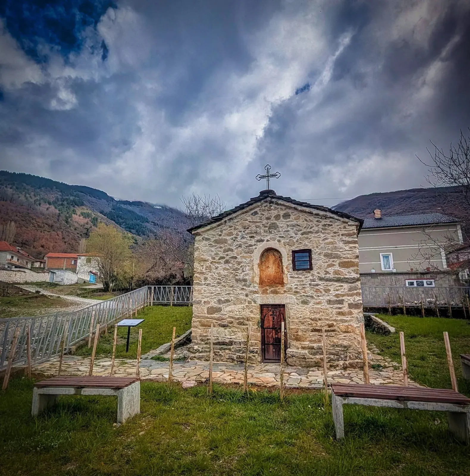
A mosaic of tower houses, religious buildings, memorials and traditions that tell the story of Dibër.
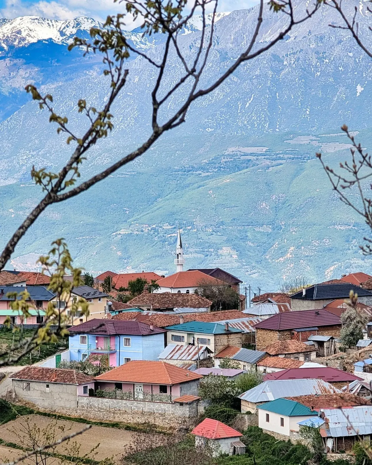
A green mountain village with open views, suited to slow travel, short walks, photography and contact with rural life.
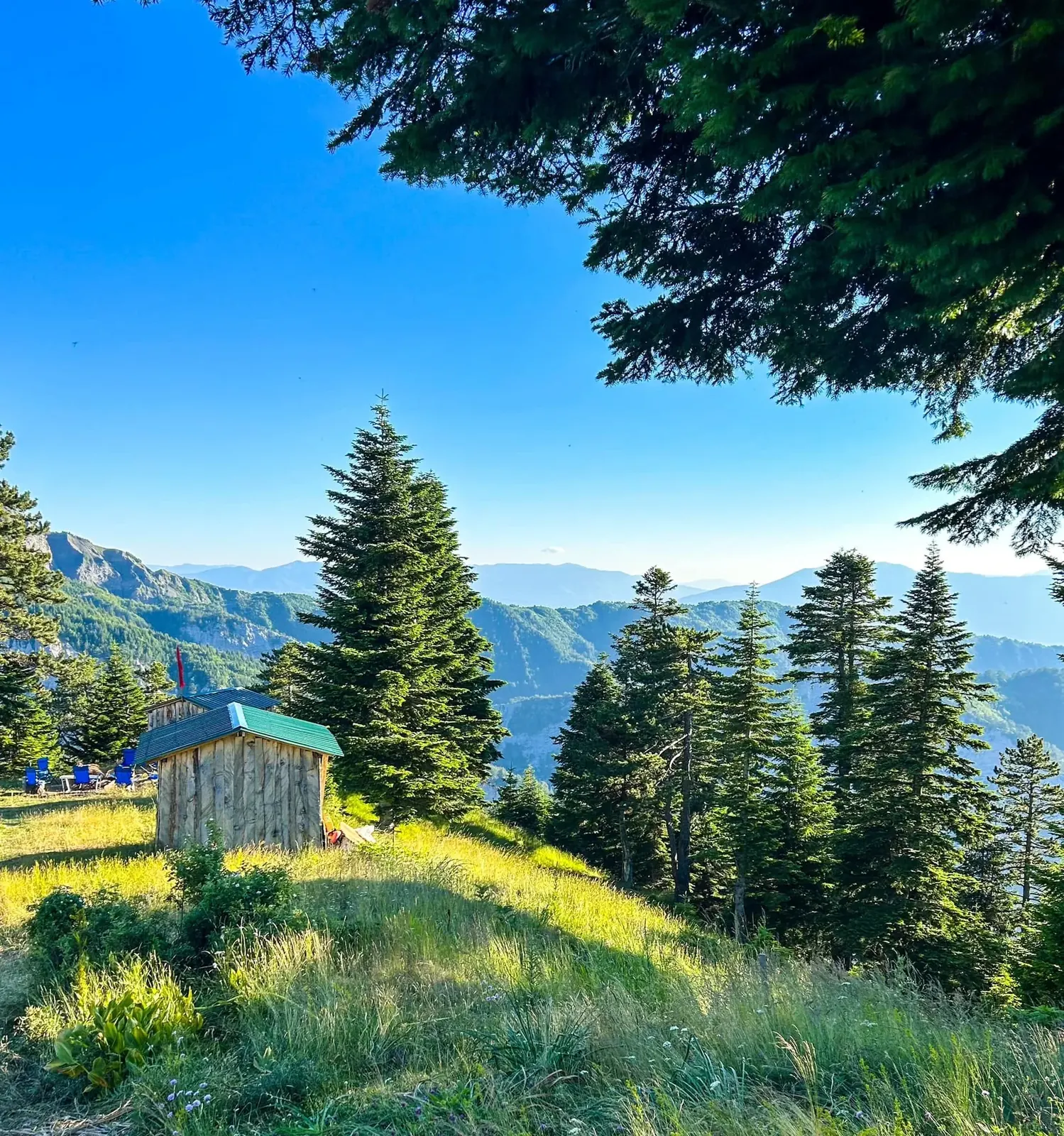
A broad glacial shoulder between roughly 1,700 and 2,200 metres above the Zimur area.